
Routes
Ride-ready routes with a map line, distance and climb. Pick mountain biking or road cycling.
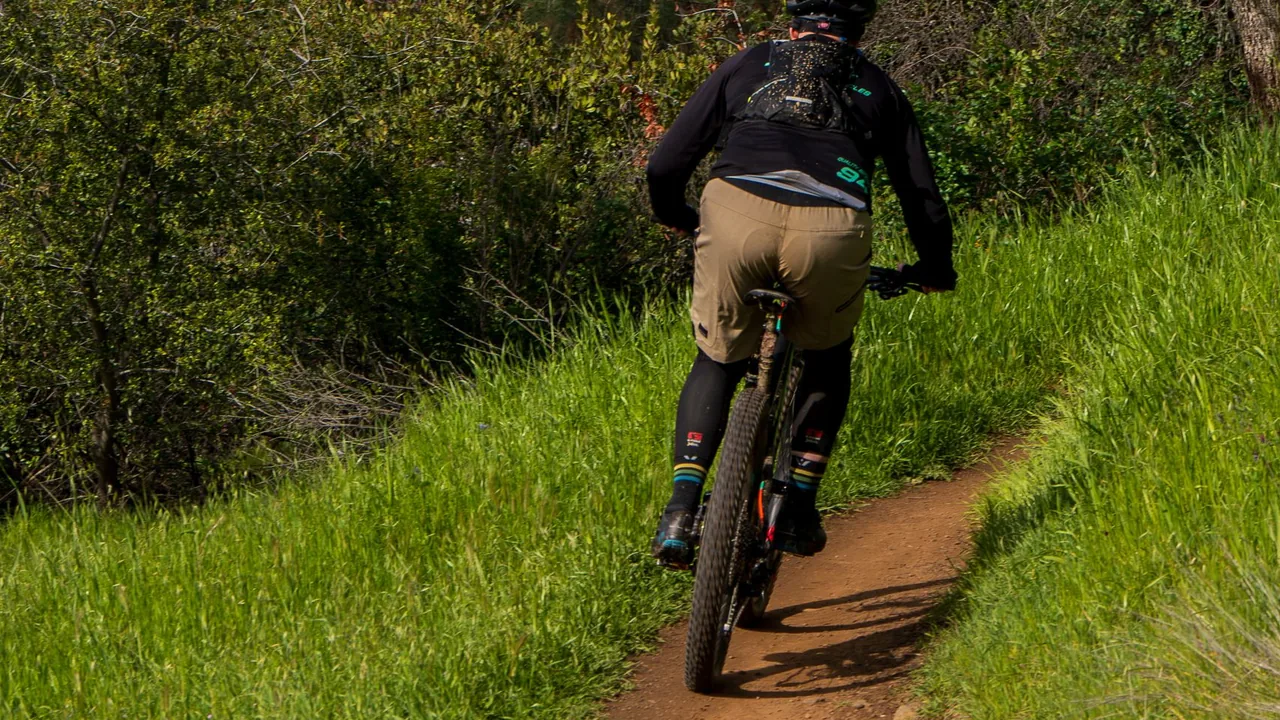 🚵 MTB routes100 verified mountain bike routes: bridleway classics, big mountain days and trail centre loops.
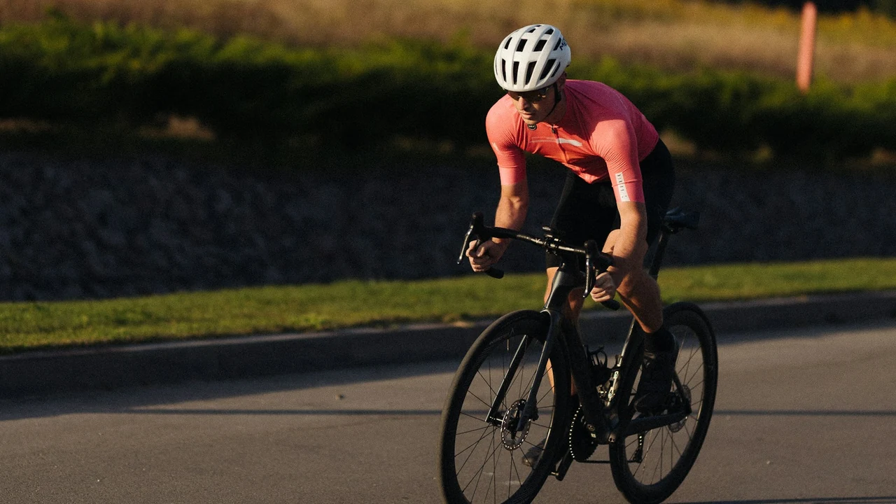 🚴 Road cycling routes372 road loops: classic climbs and scenic loops from a car park, on waymarked cycle routes and quiet roads.
About these routes
Route lines come from OpenStreetMap (© OpenStreetMap contributors, ODbL). Classic climbs are routed by us on public roads recorded in OpenStreetMap (no motorways, no roads where cycling is banned). The loops start and finish at the same mapped public car park; at least 30% of each follows waymarked cycle routes (National Cycle Network, regional and local routes, each named by an independent published source), joined on quiet public roads. Each loop is 30 to 100 km, at least 85% tarmac, with no motorways or dual carriageways and at most 15% on A roads.
Heights, climb and profiles are worked out from open elevation data, so treat them as a guide. Roads change: follow the Highway Code and the signs on the ground. Spotted a mistake? Email [email protected].